How good is OSM data?
There is often the question how good OSM data is. And where are missing roads. The "other" map OSM is usually compared to is the Google Map.Unfortunately the data Google uses is not freely available. So a direct comparism is not possible. By applying a clever rendering it's still possible to visually compare the maps and highlight missing features.
This is what compare.osm-tools.org is doing.
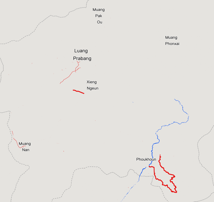
What is displayed?
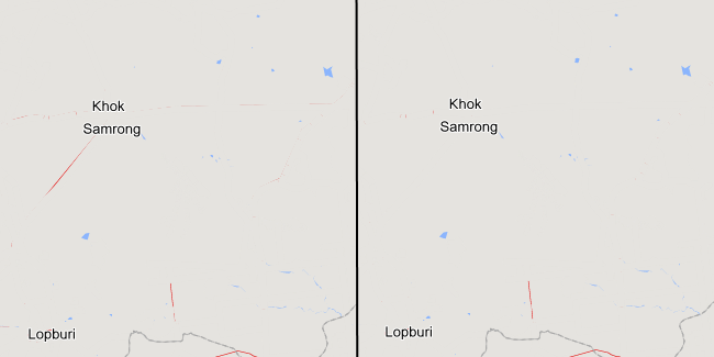
The focus is on features which can be easily added without on-the-ground knowledge needed. So only major highways and water features. The trick I applied is to "hide" all these featuers from the Google Map where we have a matching element in OSM. "Matching" in this context means it has to be roughly at the same position and the tagging must match.In a perfectly mapped area it would hide everything and show only a grey area as everything is hidden. For better orientation on the map I'm adding some boundaries and place names of cities and towns. To better spot the differences the streets and water features in Google are styled to be in stronger colors to visually stick out.
As Google Maps are not displaying all roads in all zoom levels you have to zoom in to see all details. I the areas I checked it was zoom level 9 when missing roads stated to appear on the map.
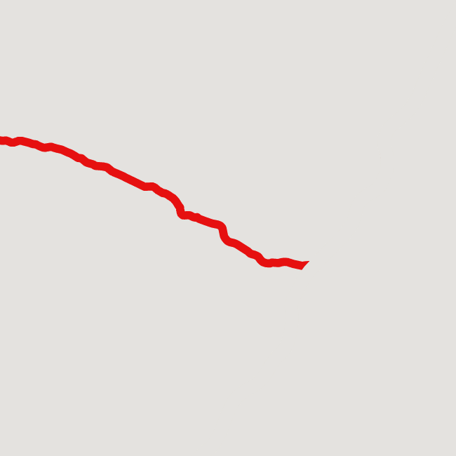
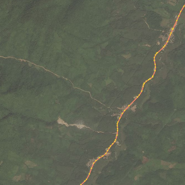
This is how it looks in the browser and after loading the area into JOSM. It's ovious where a road is missing.
Editing the data
Please use the RemoteControl buttons on the left to load the area of your choice in the editor. Best is to zoom in all the way so the area loaded is not too large. My suggestion is to use JOSM to edit. If you prefer potlatch or iD please use the dedicated links on the left. In case RemoteControl is not working in JOSM check the settings. Click on the greyed-out icon to re-check.

Things to consider
There are a few things to consider when using this tool.First and most important: It can't tell you which data is better. It just shows the differences. It's up to the user to decide what to do. It could be that OSM is not tagging a major highway as such, it could be a problem with Google as well. Use common sense to judge or try contacting mappers on the ground.
Also pay attention to a possible offset in aerial imagery. Best is to check for existing GPS tracks to align the imagery.
In case of graphics artefacts try slightly panning the map. This is caused by the way the map is rendered in the browser. Also avoid panning the map too quick as OpenLayers can't move them synchronouisly. You'll see a full uncovered Google Maps road network.
Overview
Return to the Overview page to find more tools.
